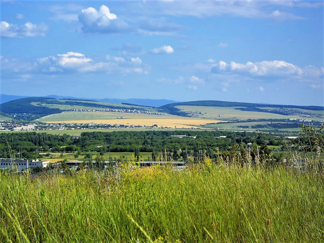

Crimean Mountains
In caves within these mountains lay some of the oldest anatomically modern humans ever found in Europe, bones roughly 32,000 years old, tied to the ancient Gravettian culture, and marked with cut lines that hint at a burial ritual of defleshing performed by hands that have no other record. That discovery, in the Buran-Kaya caves, is a reminder that the Crimean Mountains are far more than scenery. They are a wall of stone and grassland that has sheltered human life on this coast since deep in the Ice Age.
The Wall Above the Sea
These mountains define the whole character of Crimea's southern shore, and they do it through a single quirk of their shape. Also called the Yayla Mountains, they run parallel to the peninsula's southeastern coast, and they are profoundly lopsided in a way that governs everything below them. Toward the west and south, the range drops steeply, almost like a fortress rampart, plunging straight down to the Black Sea. That abrupt wall is exactly why the narrow coast beneath it enjoys its famously mild, sheltered climate, trapping warmth against the water and turning back the cold. Toward the east, by contrast, the high ground lets go slowly, its plateaus easing down until they dissolve into open steppe. That single asymmetry, a sheer face on one side and a long gentle slope on the other, is the reason the thin coastal strip below can feel almost Mediterranean, thick with cypress and vineyard, while just over the ridge the interior spreads out into dry grassland. The whole contradiction of Crimea, southern resort and open plain in one small peninsula, is written into the profile of this range.
Meadows in the Sky
The summits here are not jagged peaks but broad tablelands, and their very name carries a whole way of life. The highest ground is called the Main Range, and it is broken into a series of flat-topped plateaus known as yaylas. The word is worth savoring: yayla is Turkic for "alpine meadow," the high summer pasture where herders once drove their flocks to graze above the heat of the coast. The names march westward across the map like a litany, Baydar, Ai-Petri, Yalta, Nikita, Gurzuf, Babugan, Chatyr-Dag, each plateau its own high world. Crimea's highest point, Roman-Kosh, rises to 1,545 meters on the Babugan Yayla, and it does not stand alone; several neighbors on that same plateau nearly match it, with Demir-Kapu reaching 1,540 meters and Zeytin-Kosh 1,537, a cluster of near-equals crowding the roof of the peninsula. Farther west, the famous Ai-Petri lifts its ridge to 1,234 meters above the Yalta coast. To climb onto a yayla is to leave the wooded slopes behind and step out onto a rolling green tableland, a meadow suspended high above the glittering line of the sea.
Gates, Rivers, and a Falling Ribbon
For the people below, the great question was always how to get through, and the mountains answered grudgingly. The range is pierced by only a handful of passes, and each one is a hard-won doorway between coast and interior. The Angarskyi Pass climbs to 752 meters on the road from Alushta to Simferopol. The high Okhotnyche, at 1,185 meters, crosses near Ai-Petri on the way to Bakhchysarai. Lower down, the Baydar Gate opens above Foros to connect the Baydar Valley with the sea, and the Laspi Pass slips through near Cape Aya on the road toward Sevastopol. The mountains gather the water too, and send it running in two directions. Rivers such as the Alma, the Chernaya, and the Salhir drain the northern slope toward the steppe, while on the southern side the Uchan-su tumbles over a cliff to form the Uchan-su waterfall, the highest in Crimea, a thin ribbon of white that swells to a roar with the spring melt and can dwindle to almost nothing in the parched heat of late summer.
From the Air
The Crimean Mountains run roughly east-west along the peninsula's south coast; a representative point on the range sits near 44.610°N, 34.242°E, inland from the Yalta coast. From altitude the range reads as a wall of flat-topped plateaus, the yaylas, with the coast falling away sharply to the south toward the Black Sea and steppe opening to the north. The highest summit, Roman-Kosh, reaches 1,545 meters, so keep a generous terrain margin and watch for mountain-wave turbulence and rapid weather shifts. The nearest major airport is Simferopol International (UKFF), on the northern side of the range.
Nearby Stories
- Soviet Hospital Ship Armenia 5.2 km away
- Eski Kermen 5.5 km away
- Battle of the Alma 6.4 km away
- Novyi Svit Winery 8.5 km away
- 1988 Black Sea Bumping Incident 14 km away
- Akmesdzhyt Friday Mosque 16 km away
- Novyi Svet 31 km away
- Abkhazia 518 km away