
Dzharylhach
The ancient Greeks believed the hero Achilles ran his races here. They looked at the long, pale finger of sand curving through the northern Black Sea and named it the Course of Achilles, imagining the swiftest of warriors sprinting the length of it. The place they saw is called Dzharylhach today, and it is still doing the very thing that made it hard to define in antiquity: it cannot decide whether it is an island or part of the shore. Depending on the level of the water, it is sometimes one and sometimes the other, a landmass with a shifting relationship to the mainland.
Neither Quite Island Nor Quite Shore
Dzharylhach is fundamentally a bank of sand, sitting in the shallow waters of Kherson Oblast just north of Crimea. To the west it reaches toward Tendra Island in a long spit and shoal that sometimes dries out entirely, connecting to the continental mainland near the town of Lazurne. Old maps of southern Ukraine, drawn before the Second World War, show Dzharylhach not as an island at all but as a sandbar joined to the coast. The wider stretch of it once carried the classical name Tamyraca, an echo of the same Greek geographers who charted the neighboring bay. The land itself keeps rewriting its own outline, so that the question of whether Dzharylhach is an island depends less on geography than on the season and the tide.
Two Lighthouses and a Grave
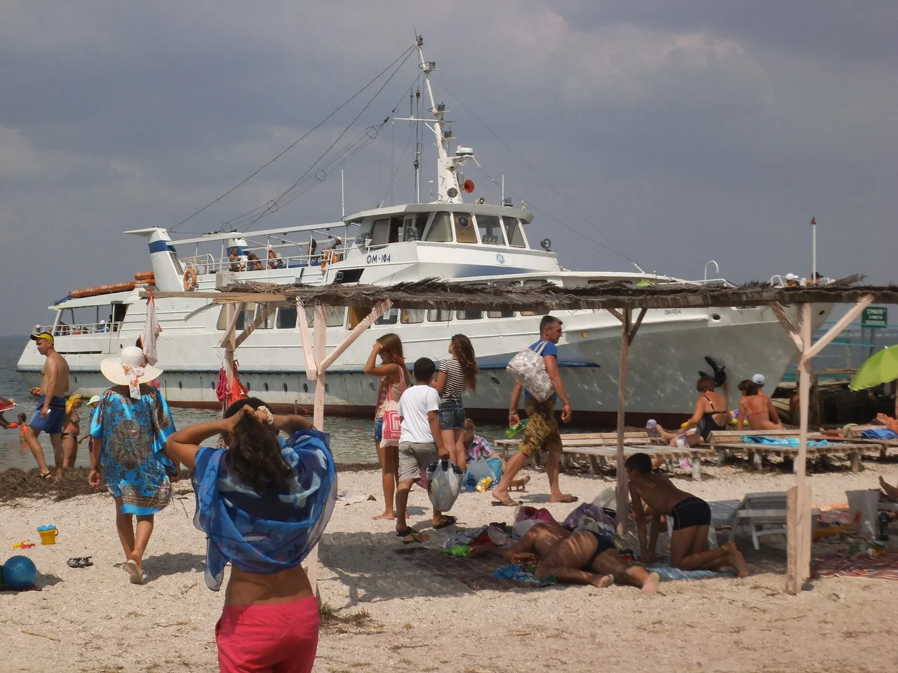
For all its emptiness, the sandbar carries the marks of the people who used it. Old photographs show a beach resort with a pier, a stretch nicknamed Turtle Beach, and two lighthouses standing near one another, one old and one newer, guiding vessels through the treacherous shallows where the water can vanish without warning. And among the dunes lies a mass grave of Soviet soldiers, a reminder that even this remote line of sand was touched by the great wars of the twentieth century. A place that looks like nothing but beach and sky holds, if you know where to look, the pier posts, the lamp towers, and the buried dead of a harder past.
Fire on the Sand
In more recent years the sandbar's fortunes darkened. A military training ground was established on the island, and in August 2023 a large-scale fire broke out across it, destroying more than fifteen hundred hectares of the nature reserve that had long protected its unique habitats. The flames swept a landscape that had endured for millennia as little more than sand, shoal, and shallow water, the same terrain the Greeks once tied to their fastest hero. Achilles was famously vulnerable at a single point; Dzharylhach, it turned out, was vulnerable to fire, its slender body of dunes and grasses no match for the century that finally reached it.
From the Air
Dzharylhach lies at 46.03°N, 32.78°E, a slender sandbar threading west to east through the shallows off the Kherson coast. From altitude it appears as a thin bright ribbon of sand between the open sea and the pale water of the bay, tapering westward toward Tendra in a spit that sometimes surfaces. Skadovsk sits on the mainland to the north; Kherson (ICAO UKOH) is farther north-northwest.
Nearby Stories
- Swan Islands Nature Reserve 15 km away
- Zaliznyi Port 18 km away
- Kalos Limen 24 km away
- Lake Lemuria 26 km away
- Adziogol Lighthouse 30 km away
- Saky 65 km away
- Black Sea Biosphere Reserve 74 km away
- Danube Delta 229 km away