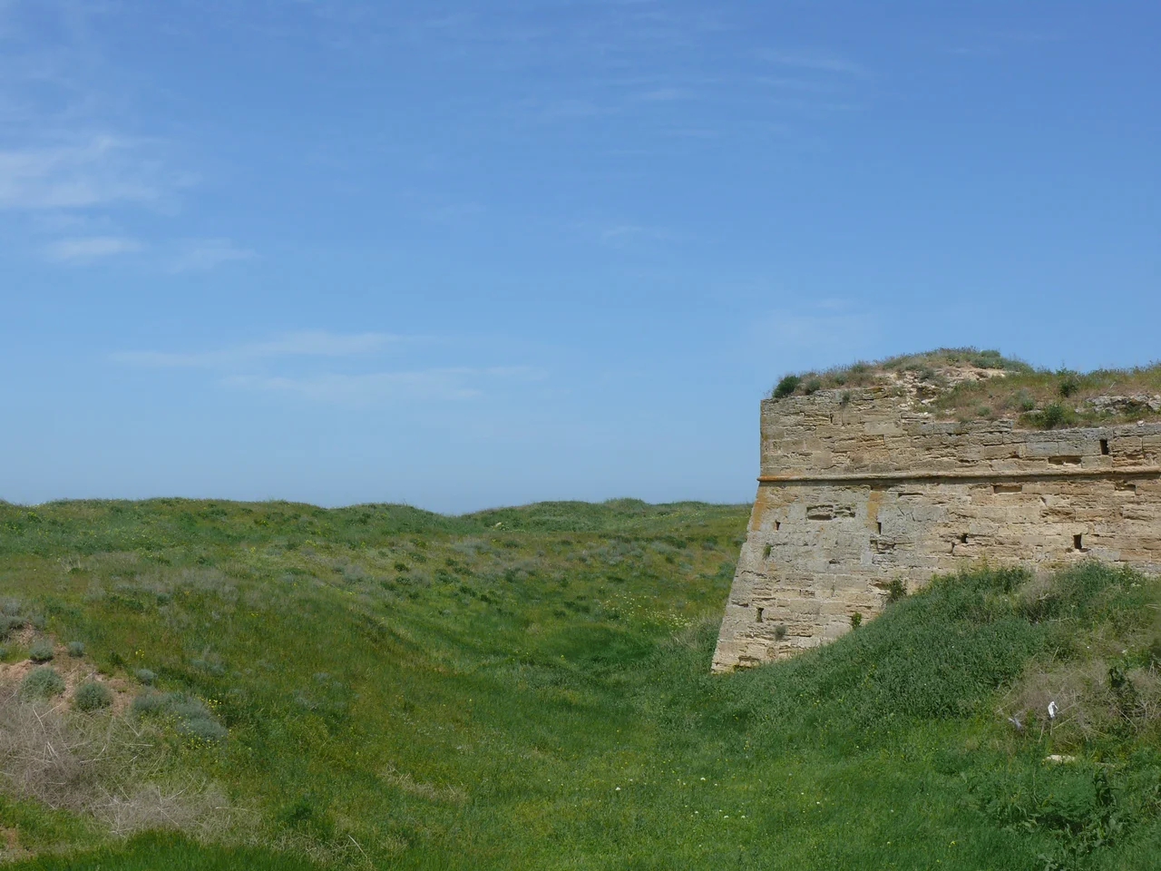

Arabat Fortress
The Arabat Spit is a thread of sand so improbably long and thin that it barely looks like land at all, a hundred-kilometer ribbon separating the shallow lagoons of the Sivash from the Sea of Azov. Follow it to its southern tip and you reach the reason anyone ever built here: the Arabat Fortress, a squat stone stronghold raised by the Ottoman army in the seventeenth century to bolt the door to Crimea. For anyone marching up this natural causeway toward the peninsula, this fort was the checkpoint that had to be passed. Its very name may come from the Arabic rabat, a military post, or the Turkic word for a suburb on the edge of things.
The Door at the End of the Sand
The spit is a highway that nature laid down and armies could not ignore. Whoever held its southern gate held one of the few land approaches to Crimea, and the Ottomans understood this well. Their fortress here was part of a wider effort to control the peninsula that had begun with the Turkish invasion of 1475, which shattered the Genoese trading colonies clinging to the Crimean coast and swept away their fortresses. There is older memory in this ground too. Long before the Ottomans, during the centuries of the Bosporan Kingdom that flourished from around the fifth century BC into late antiquity, a fortification is said to have stood on this same strategic sliver of shore. The site was chosen and re-chosen because geography left no better option.
Abandoned, Refurbished, Abandoned Again
When Crimea passed to the Russian Empire in 1783, the fortress lost its purpose and was left empty. But strongholds have a way of being remembered when war returns. During the Crimean War of 1853 to 1856, Russian forces refurbished the old walls and pressed them back into service to defend the coast. Peace made the fort obsolete once more, and this time the local people of the nearby village of Arabat found a practical use for it: they quarried its walls for building stone, carrying the fortress away piece by piece. It is a quiet fate for a place built to withstand cannon, dismantled not by siege but by neighbors who simply needed something solid to build with.
A Century of Hard Fighting
The twentieth century gave the spit no rest. In 1920, during the Russian Civil War, the Soviet Red Army and the White movement fought heavily across this narrow strip. Two decades later the guns returned when the German Army battled here between 1941 and 1944, in the grinding campaigns that swept back and forth across Crimea during the Second World War. Even the fort's fictional afterlife carries an echo of soldiers: in 1968 scenes from the popular Soviet film Two Comrades Were Serving were filmed at the ruins. Satellite imagery in the years since 2014 shows military forces once again present at the site, the latest chapter for a place that has watched armies come and go for the better part of four centuries.
The Ribbon of Sand
To understand the fortress, you have to understand the spit it guards. The Arabat Spit is one of the most extraordinary landforms on the Crimean coast, a natural causeway of sand running north for roughly a hundred kilometers, in places only a few hundred meters wide. On one side lies the open Sea of Azov; on the other, the eerie shallows of the Sivash, the so-called Rotten Sea, a labyrinth of hypersaline lagoons that smell of brine and mud. The fortress sits at the spit's southern end, where this thread of land finally touches Crimea, precisely because that is the point every traveler on the causeway must pass. The name itself hints at the fort's function, drawn perhaps from an Arabic word for a military post or a Turkic word for an outlying settlement. Either way, it names the same truth: this was the edge of things, the last outpost on a road of sand between two seas.
From the Air
Arabat Fortress sits at the southern tip of the Arabat Spit at 45.30°N, 35.48°E, where the sandbar meets the peninsula. From 4,000 feet the spit is unmistakable, a hair-thin line of sand running north between the mirror-flat Sivash lagoons and the open Sea of Azov. Nearest major airfield is Simferopol (UKFF), roughly 100 km southwest.
Nearby Stories
- Koktebel 8.5 km away
- Battle of the Kerch Peninsula 9.8 km away
- Aq Qaya 22 km away
- Arabat Spit 32 km away
- Valley of Ghosts 42 km away
- Azov-Syvash National Nature Park 72 km away
- Soviet Destroyer Smyshlyony 77 km away
- Meotyda National Nature Park 202 km away